Economic & Community Development
The Comprehensive Economic Development Strategy, regional economic data, housing, and the revolving loan fund.
Explore
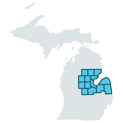
Fourteen counties, one planning agency. We do the economic strategy, transportation programming, hazard mitigation and regional data work that no single county can sustain alone.
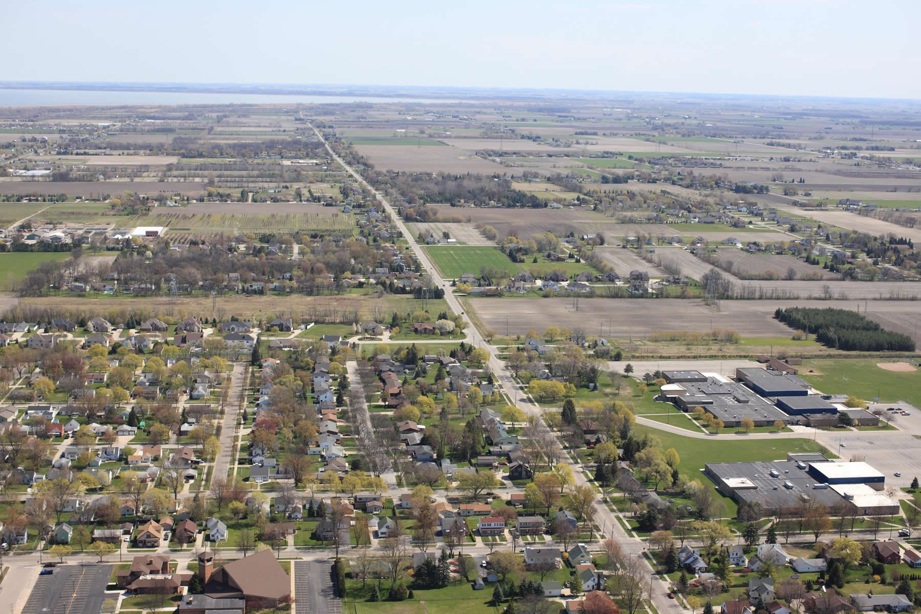
Photograph: US Army Corps of Engineers
EMCOG is making changes throughout the organization, including staff and the location of its office. The office has relocated to Saginaw Valley State University. The most reliable way to reach staff is by email or direct phone — please use the staff directory to find the right contact or to arrange a meeting.
Staff directory and contact detailsEMCOG serves fourteen counties in east central Michigan — the Saginaw Bay shoreline, the Thumb, and the farmland between them. Each county has its own profile with plans, documents and economic data.
Together with the Saginaw Chippewa Indian Tribe, a sovereign nation whose lands lie within Isabella County.
Five program areas, each carrying its own plans, data and published documents.
The Comprehensive Economic Development Strategy, regional economic data, housing, and the revolving loan fund.
Explore
Rural Task Force and Small Urban programs, regional traffic safety, asset management, the M-15 Pure Michigan Byway, and non-motorized planning.
Explore
Hazard mitigation, master plans and zoning, recreation plans, wildfire protection plans, and the Redevelopment Ready Communities program.
Explore
The EMCOG Regional Food Guide, community supported agriculture, and local gardening resources.
Explore
GIS data for the 14-county region, demographic and livability facts, and economic forecasts through 2045.
Explore